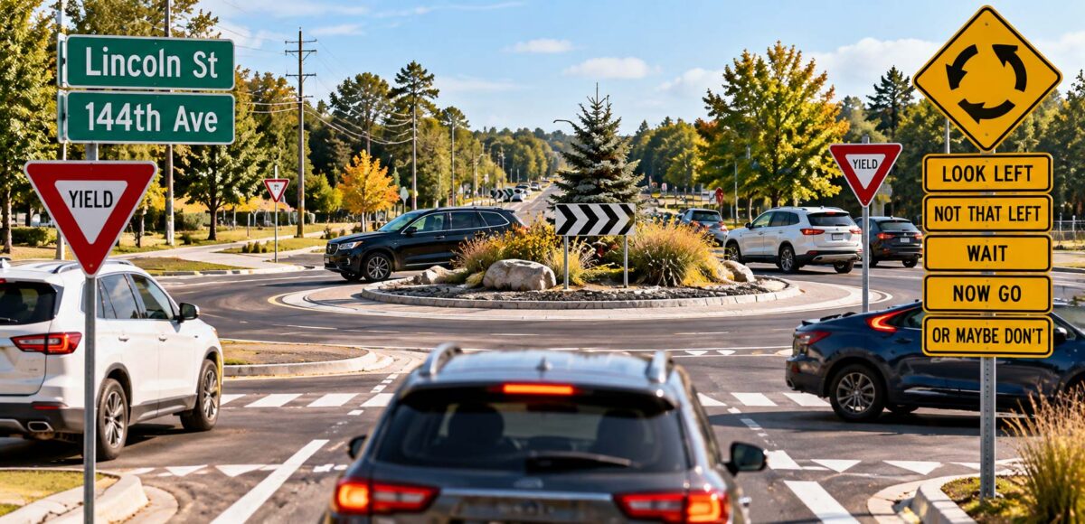



GRAND HAVEN, MI — Despite living in the Grand Haven area for more than four decades, local resident Dennis Hartman, 63, admitted Thursday that he still has absolutely no idea which road is 144th Avenue.
Hartman, who has successfully navigated the region since the mid-1980s, says the county’s numbered road system remains one of the few mysteries he has no intention of solving.
“I know where I’m going,” Hartman explained. “I just don’t know what the hell any of the roads are called.”
According to family members, Hartman’s navigation system relies almost exclusively on landmarks, former businesses and directions that haven’t been relevant since the Clinton administration.
“Take a left where the old gas station used to be, go past where they had that fire in ’98, and turn right just before the guy who used to sell pumpkins,” Hartman explained, describing a route that Google Maps estimates would require approximately seven additional conversations to complete.
When asked whether the route involved 144th Avenue, Hartman paused.
“Is that the one by the thing?”
It was not immediately clear which thing he meant.
The confusion is hardly isolated.
A six-month investigation by The Grand Haven Ledger’s Department of Geographical Uncertainty found that many longtime residents can navigate the entire Tri-Cities area without ever learning the names of the roads they’re driving on.
Instead, they rely on a sophisticated network of references including “the old Kmart,” “where the movie theater used to be,” “the road behind Meijer” and “that intersection they’re always screwing with.”
Researchers say the system works remarkably well until someone under the age of 35 asks for directions.
“There’s an entire generation of people navigating West Michigan using landmarks that no longer physically exist,” said Dr. Gerald Pritchard, the Ledger’s Senior Cartographic Confusion Analyst. “It’s essentially a secret language, and none of them realize they’re speaking it.”
The problem has reportedly intensified as GPS navigation systems increasingly refer to roads by their actual names.
Hartman recalled a recent incident in which his phone instructed him to turn right onto 144th Avenue.
“I told it I don’t know where that is,” he said. “Then it told me again, louder. Like that was gonna help.”
After missing the turn, Hartman successfully reached his destination by ignoring the GPS and taking what he described as “the back way.”
He arrived 11 minutes late but maintained that his route was faster.
Local transportation experts have proposed several solutions, including additional signage, improved maps and a countywide initiative to explain why so many roads are named after numbers.
Hartman remains skeptical.
“Just tell me if it’s before or after the old Pizza Hut.”
At press time, Hartman was attempting to explain the difference between 144th Avenue and 148th Avenue by referencing a barn that was demolished in 2007.
He was reportedly making excellent progress.